Merkliste
Die Merkliste ist leer.
Der Warenkorb ist leer.
Kostenloser Versand möglich
Bitte warten - die Druckansicht der Seite wird vorbereitet.
Der Druckdialog öffnet sich, sobald die Seite vollständig geladen wurde.
Sollte die Druckvorschau unvollständig sein, bitte schliessen und "Erneut drucken" wählen.

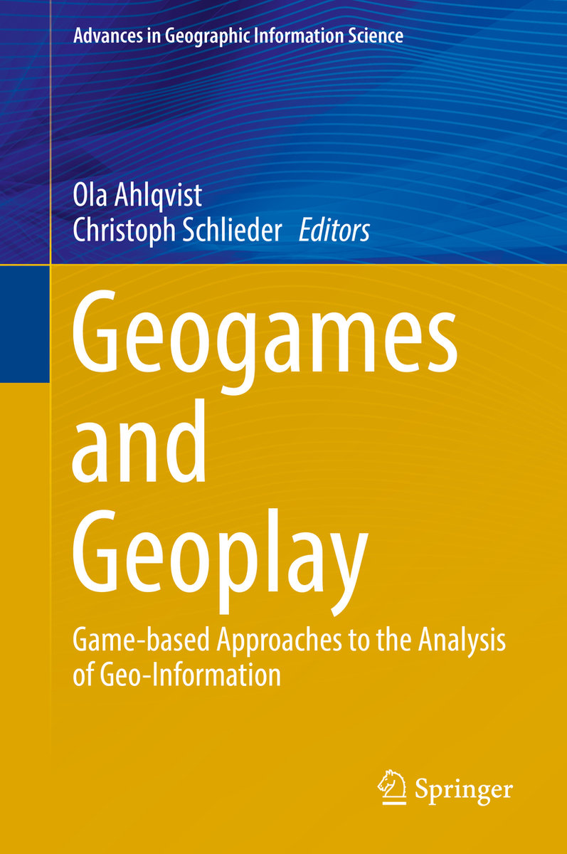
Geogames and Geoplay

Game-based Approaches to the Analysis of Geo-Information
BuchGebunden
Verkaufsrang23702in
CHF188.00

Beschreibung

This book brings together contributions from researchers, GIS professionals and game designers to provide a first overview of this highly interdisciplinary field. Its scope ranges from fundamentals about games and play, geographic information technologies, game design and culture, to current examples and forward looking analysis.Of interest to anyone interested in creating and using Geogames, this volume serves as a channel for sharing early experiences, discussing technological challenges and solutions, and outlines a future research agenda. Games and play are part of human life, and in many game activities, place, space and geography plays a central role in determining the rules and interactions that are characteristic of each game. Recent developments and widespread access to mobile information, communication, and geospatial technologies have spurred a flurry of developments, including many variations of gaming activities that are situated in, or otherwise connected to the real world.
Weitere Beschreibungen

Details

ISBN/GTIN978-3-319-22773-3
ProduktartBuch
EinbandGebunden
VerlagSpringer
Erscheinungsdatum20.11.2017
Auflage1st ed. 2018
Seiten248 Seiten
SpracheEnglisch
MasseBreite 160 mm, Höhe 241 mm, Dicke 20 mm
Gewicht541 g
Artikel-Nr.3800268
Verlagsartikel-Nr.978-3-319-22773-3
KatalogBuchzentrum
Datenquelle-Nr.18592525
Weitere Details

Reihe

Autor

Dr. Ola Ahlqvist worked professionally with local and regional environmental planning in Finland and Sweden in the early 1990's. After completing a PhD in Geography at Stockholm University in 2001 followed by post-doctoral training at Penn State University he joined The Ohio State University Department of Geography in 2005. His research interests revolve around three broad areas: 1) semantic uncertainty and formal ontology in analysis of land cover change, landscape history, and visualization. 2) how online maps, social media, and games form a nexus for spatial collaboration, social-environmental simulation, and decision making. 3) the scholarship of teaching and learning in GIS and Service-Learning. Christoph Schlieder is Chair of Applied Computer Science at the University of Bamberg, Germany and leads the research group on Computing in the Cultural Sciences. He holds a Ph.D. and a Habilitation degree in computer science, both from the University of Hamburg. Before coming to Bamberg he worked at the University of Bremen where he headed the Artificial Intelligence research group. His research interests focus on methods from semantic information processing and their application to problems from the cultural sciences. Most of his scientific work puts an emphasis on spatial modelling. He has widely published on technical topics including qualitative and diagrammatic reasoning, preferred mental models, geo-spatial semantics, and mobile assistance systems. Since 2004 he designs and analyzes geogames and, more specifically, location-based games played outdoors on mobile devices.

Schlagworte