Merkliste
Die Merkliste ist leer.
Der Warenkorb ist leer.
Kostenloser Versand möglich
Bitte warten - die Druckansicht der Seite wird vorbereitet.
Der Druckdialog öffnet sich, sobald die Seite vollständig geladen wurde.
Sollte die Druckvorschau unvollständig sein, bitte schliessen und "Erneut drucken" wählen.

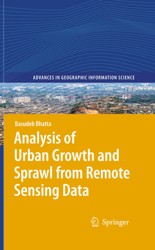
Analysis of Urban Growth and Sprawl from Remote Sensing Data

E-BookPDFE-Book
Verkaufsrang79102in
CHF118.00

Beschreibung

This book provides a comprehensive discussion on urban growth and sprawl, and how they can be analyzed using remote sensing imageries. It compiles the views of numerous researchers which help in understanding urban growth and sprawl; their patterns, process, causes, consequences, and countermeasures; how remote sensing data and geographic information system techniques can be used in mapping, monitoring, measuring, analyzing, and simulating the urban growth and sprawl; and the merits and demerits of current methods and models.

Scientists and researchers engaged in urban geographic research will benefit greatly from this book, especially when using remote sensing imageries.  Post graduate students of urban geography or urban/regional planning may refer to this book for additional information. This book should also assist  academicians when preparing lecture notes and delivering lectures. Professionals in related fields in industry will appreciate the methods and models discussed  as well as the many citations.

Weitere Beschreibungen

Details

Weitere ISBN/GTIN9783642052996
ProduktartE-Book
EinbandE-Book
FormatPDF
Format HinweisWasserzeichen
Erscheinungsdatum03.03.2010
Auflage2010
Seiten172 Seiten
SpracheEnglisch
IllustrationenXX, 172 p.
Artikel-Nr.1265326
KatalogVC
Datenquelle-Nr.13446
Weitere Details

Reihe

Autor

The author is currently a Course Coordinator in the Computer Aided Design Centre of Jadavpur University, Kolkata. He has more than 13 years of industrial, teaching and research experience in remote sensing, GNSS, and GIS. He has authored numerous research papers and articles in various journals and magazines. He has also authored two textbooks on Remote Sensing, GNSS, and GIS. In recent years he has been engaged with rigorous research on applications of geoinformatics in urban geographic studies